Route Description
The Offa's Dyke Path National Trail was opened in the summer of 1971, linking Sedbury Cliffs near Chepstow on the banks of the Severn estuary with the North Wales coastal town of Prestatyn. The Trail is named after, and often follows, the spectacular Offa's Dyke, a great frontier earthwork, which Offa the King of Mercia from 757 to 796 A.D. ordered to be constructed.This holiday covers the 80 mile Southern section of Offa's Dyke Path from Sedbury Cliffs, Chepstow to Knighton. The following is intended to provide further information about the route. Please note that all distances and heights in this document are approximate and along with all the other information are provided as an aid to describe the route.
Terrain
The terrain varies from riverside paths, country lanes, farmland, rolling hills and mountain paths.
Waymarking and Navigation
The route is sensibly waymarked and generally easy to follow with the aid of a map and guidebook.
Sedbury Cliffs/Chepstow (height above sea level 10m) to Monmouth (20m).
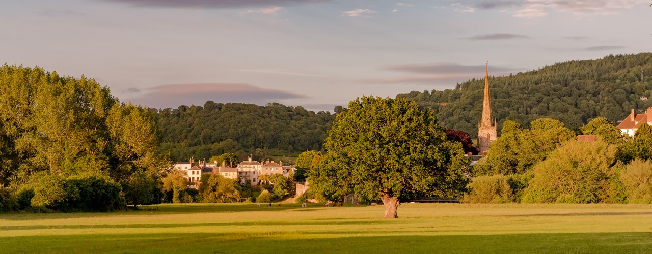
Offa’s Dyke Path (ODP) starts in England at Sedbury Cliffs (near to Chepstow) overlooking the Severn estuary. The Dyke itself is first met at the very start of the ODP, close to Sedbury Cliff. The ODP passes to the east of Chepstow with views of Chepstow Castle. From here the ODP continues its journey north on the eastern side of the River Wye high on the tree lined escarpment with a number of classic viewpoints, one of the most iconic being the view of Tintern Abbey from Devil’s Pulpit. The Wye Valley is one of the finest lowland landscapes in Britain and was designated as an Area of Outstanding Natural Beauty in 1971. Along this section the ODP offers several route options which meet at Bigsweir. The ODP continues through woodland and at Redbrook it makes the first of many border crossings between England and Wales, and continues to Monmouth, a Welsh border town situated at the confluence of the Rivers Wye, Monnow and Trothy and perhaps best known as the birthplace of Henry V.
Monmouth (20m) to Llangattock Lingoed (150m).
From the town centre the ODP crosses over the 13th century Monnow Bridge, the only remaining medieval fortified bridge in Great Britain. Leaving behind the River Wye the ODP crosses quiet rolling farmland, mainly sheep country. It passes through woodland on route to Hendre, it then crosses farmland to the church at Llanvihangel-Ystern-Llewern, and continues to the village of Llantilio Crossenny. Continuing across the rolling farmland the ODP passes alongside the medieval White Castle on route to the village of Llangattock Lingoed and the medieval St. Cadoc's Church.
Llangattock Lingoed (150m) to Longtown (140m).
Approaching Pandy there are great views of the Black Mountains including Hatterrall Ridge over which the next part of the Trail passes.From Pandy a steady climb brings you to the first upland section of the ODP. It takes the route along Hatterrall Ridge in the Black Mountains, which are the eastern edge of the Brecon Beacons National Park. Once the first summit has been reached the ODP follows a well-defined ridge walk with stunning views to either side. Much of the ODP follows the ridge path at over 600metres. A few miles into the ridge crossing descend from 500metres and overnight at Longtown (140m) with its 12th century Norman Castle.
Longtown (140m) to Hay-on-Wye (90m).
The following morning transport will take you a short way back uphill from where you follow a footpath for a 300metre climb back onto the ridge. Continue to follow the ridge crossing Hay Bluff (677m) which is the northern high point of the ridge from where the ODP descends into Hay-on-Wye (90m), famed for its numerous bookshops, the town also has the ruins of two Norman castles.
Hay-on-Wye (90m) to Kington (170m).
From Hay-on-Wye the ODP follows level paths alongside the River Wye, last seen in Monmouth. After a couple of miles the ODP leaves the river to begin a rolling route through farmland. The ODP climbs and contours around Little Mountain (approx. 320m) then descends into the village of Newchurch (240m) - the church here is always open and welcomes walkers and you can help yourself to a cup of tea for a small donation. The ODP climbs again into rolling hills before descending into in Gladestry (225m). The final stage across hill country before Kington is to follow the ODP over Hergest Ridge (426m) with wonderful views all-round. Crossing the ridge you pass an old racecourse which is exactly a mile around. This area was also the inspiration for Arthur Conan Doyle’s Hound of the Baskervilles and Mike Oldfield’s second album Hergest Ridge. Descending from the ridge you join a road which leads to the historic market town of Kington.
Kington (170m) to Knighton (175m).
On this stage the ODP follows long stretches of well-preserved Dyke before it enters Knighton (Tref-y-Clawdd, meaning the town on the dyke in Welsh). On leaving Kington the ODP rise over Brandor Hill and its golf course. A high point of approx. 390m makes Kington Golf Course the highest in England. Soon after the ODP meets up with Offa’s Dyke on Rushock Hill (375m), from this point to Chirk Castle the ODP and Offa’s Dyke keep each other company for most of the journey. The ODP now continues its journey across the rolling countryside. The highest peak on this section is Hawthorn Hill (407m) a few miles before Knighton. There are stunning views from the hill and one of Owain Glyndwr’s (the last native Welshman to hold the title Prince of Wales) famous battle sites can also be seen from here where he fought the English at the Battle of Pilleth, with the square clump of trees that mark the burial site of the soldiers. The final decent brings you down into the historic market town of Knighton, home of the Offa’s Dyke Centre.
More Information?
For more information or to make an enquiry, please don't hesitate to call or email us.
