Route Description
The Cumbria Way was first devised by local Ramblers Association members in the the mid 1970's. The route is a picturesque 70 mile trail through the heart of the Lake District. The South to North trail starts from Ulverston, at the Southern end of Cumbria, bisects the Lake District, and finishes in the historic city of Carlisle.
Terrain
The terrain varies from footpaths, farmland, country lanes and rocky paths in the mountain passes.
Waymarking and Navigation
The route is not fully waymarked but it is generally easy to follow with the aid of a route map and compass.
Ulverston to Coniston. Distance 15 miles
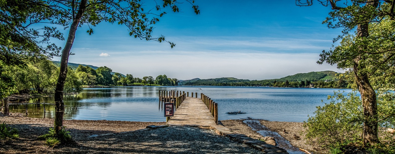
The route leaves the Ulverston, birthplace of Stan Laurel, and heads north across farmland climbing to Higher Lath Farm (170m) then descending to pass St John’s Church in the hamlet of Broughton Beck (100m). Continuing across farmland the route enters the Lake District National Park near Gawthwaite (160m). The route continues passing farms and small hamlets to Tottlebank (145m) where it crosses low lying fells, passing Beacon Tarn (170m) on the way, before descending to Coniston Water (50m). The route follows a path along the western shore of Coniston Water to Coniston village (60m), in the shadow of Coniston Old Man fell.
Coniston to Langdale. Distance 11 miles
The route leaves Coniston and climbs through woodland and fields to the stunning Tarn Hows. The route passes the tarn and joins a track through areas of woodland. It passes Great How and turns right to the villages of Colwith and Skelwith Bridge. The Langdale Pikes soon become visible as the route leaves Skelwith Bridge (50m). The route then turns left to follow the beck to the village of Elterwater before entering the Great Langdale valley. The route follows close to Great Langdale Beck, there are wonderful views on the fells on either side of the valley to Dungeon Ghyll (90M).
Langdale to Rosthwaite. Distance 8 miles
The route follows Mickleden Beck below the Langdale Pikes. The route climbs gradually at first then it turns north and climbs steeply alongside Stake Gill. It crosses the fell via Stake Pass (450m) before descending alongside Langstrath Beck and turning towards the villages of Stonethwaite. Here it joins Wainwright’s Coast to Coast Path to Rosthwaite (100m).
Rosthwaite to Keswick. Distance 8 miles
The route follows the River Derwent through Borrowdale valley passing the village of Grange to Derwent Water where it follows the western shoreline to the town of Keswick (80m).
Keswick to Caldbeck. Distance 15 miles
The route leaves Keswick and climbs past Latrigg fell on a path between Skiddaw and Blencathra Mountains. It continues to climb to Skiddaw House (470m) a former Shepherds Hut now a remote YHA bunkhouse. The route now splits to give two options. The high-level option (15 miles) follows the River Caldew down to 350m before ascending again to cross High Pike (658m) in the Caldbeck Fells. From here it is downhill to the village of Caldbeck (160m). The lower-level option (18 miles) descends on the access track to Peter House Farm (210m). The fellside route then contours round the back of the Lake District fells along sections of road walking and field paths to Caldbeck (160M).
Caldbeck to Carlisle. Distance 14 miles
After leaving the village of Caldbeck this final low-level section of the route follows the course of the River Caldew to the city of Carlisle. The route passes through the villages of Sebergham and Dalston following woodland and farmland public footpaths and bridleways.
More Information?
For more information or to make an enquiry, please don't hesitate to call or email us.
